The app should be a screen you can trust while riding
During a ride, one number, one warning, or one map position can matter more than a long explanation.
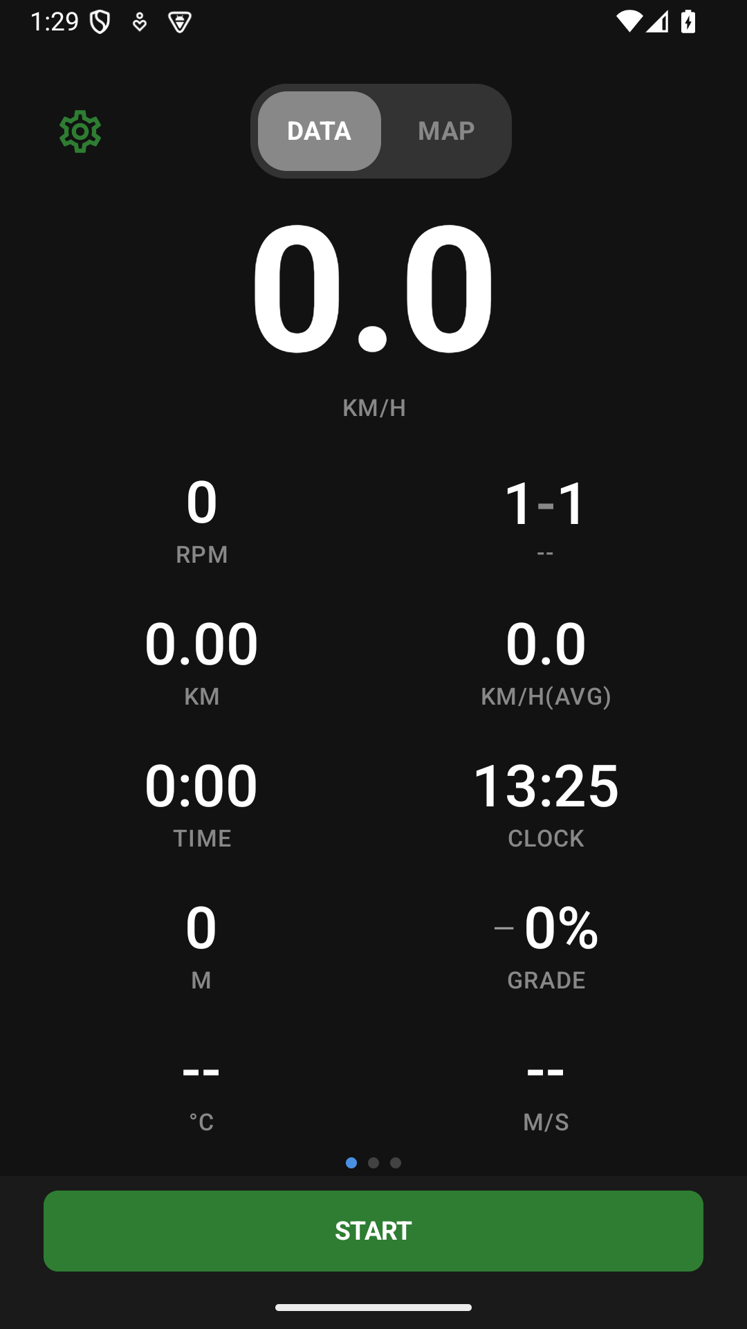
Orider App is a cycling computer that keeps improving GPS recording, BLE sensors, route guidance, and group location sharing.
Real rides are full of variables, so there are still device-specific bugs and stability work left.
What the app does
| Feature | Description |
|---|---|
| Ride recording | Stores GPS-based distance, speed, time, and route, with retry paths for interrupted records. |
| Data fields | Places speed, cadence, heart rate, power, time, and targets where riders can read them quickly. |
| Sensor connection | Handles heart rate, cadence, speed, power, Di2/AXS, radar, and other connected devices. |
| Maps and routes | Shows route guidance, off-route detection, rerouting, climb information, and segment progress. |
| Group riding | Supports friend and group location, SOS, pings, preset messages, and event participation flow. |
| Sync and upload | Connects completed rides safely to web analysis and external services. |
The app and web read the same record at different moments
| App | Web | |
|---|---|---|
| Moment | During the ride | After the ride |
| Main screens | Data fields, map, route, sensors, group location | Dashboard, analysis, fitness, groups and events |
| Main question | Am I safe, and is this being recorded correctly? | How was the ride, and what should change next time? |
| Relationship | The starting point of the record | The expanded view for review |
Location and fitness records should be handled carefully
A cycling app can reveal home-area starts, repeated routes, body condition, and people you ride with.
That is why Orider spends time on permissions, visibility, location sharing, upload recovery, and logging before simply adding more features.
- Location: Needed for ride records and routes, but visibility and group sharing should be separate choices.
- Sensors: Heart rate, cadence, and power from rider-connected devices should be recorded reliably.
- Recovery: Upload retry and logging should reduce record loss when network or auth fails.
- Parity: Shared logic and tests should reduce differences between Android and iOS.
- Unfinished: Sensors, background location, upload, and route guidance still need real-ride validation.
What you can prepare on the web before a ride
Check courses
Review the route and elevation profile before deciding what you need during the ride.
Ride with friends
Connect with people you ride with before using group location or event flows.
Review account links
Check external service connections and visibility before records move across services.